
Whittier Neighbors by Block
A block lookup works best as a set of narrow record questions. The Los Angeles County Assessor Parcel Viewer answers where parcels sit and which AIN belongs to each shape. The county Assessor counter or data sale is the route for tax-roll owner and mailing facts after a parcel is identified. The recorder supplies a deed party and year trail in Norwalk, while Haines supplies an older address-and-name layer from the library. Each source shows a different slice of the people or property around Whittier neighbors.
| Source | What It Shows About a Block | Access |
|---|---|---|
| Assessor Parcel Viewer | Adjacent shapes, AINs, situs, building, and value context | Free map; click or search each parcel |
| City map gallery | Zoning, districts, hazards, services, and policing geography | Free layers; no names |
| Assessor counter or data sale | Tax-roll owner and mailing facts for an identified parcel | Counter or purchased dataset |
| RR/CC real-property records | Deed parties and a title trail by person and year | Norwalk; not an address browse |
| Qualified voter file | Residential address and precinct fields for an approved purpose | Restricted application; protected voters excluded |
| Haines or criss-cross directories | Historical occupant, address, and telephone clues | Whittier library use |
| Neighborhood Watch | Civic safety connection, not a member list | Whittier Police, (562) 567-9200 |
An owner is not automatically an occupant, and an occupant is not automatically every member of a household. The Assessor web result omits owner and mailing data, the voter status form is for self-verification, and neighborhood groups do not publish a complete roster. The table is a route map, not a promise that one search will reveal every person near an address.
Map Whittier Neighbors by Parcel
The Los Angeles County Assessor Parcel Viewer is the practical starting point for adjacent land. It supports address or AIN searching, parcel shapes, parcel-map and map-index links, and Pictometry context. The research found no official buffer, radius, multi-select, or export tool. The neighbor method is therefore a careful walk across polygons, not a one-click list of the block.
- Locate the subject address in the Assessor Parcel Viewer and confirm the situs, AIN, and parcel outline.
- Zoom out enough to see the surrounding polygons, then click or search each adjacent parcel one at a time.
- Record every AIN, situs, cross street, and legal-description clue before moving to the next parcel.
- Use the Assessor Portal for physical and value fields. Owner or mailing facts require the county counter or Property Data Sales route.
- For a full named-street chain, move to the address-centered Whittier street directory workflow rather than treating the block map as a whole-street roster.
Corner parcels and multi-unit sites are where sequential house-number guesses fail. Parcel shape and map context are safer than assuming that the next number belongs to the next polygon.
Whittier Neighbors Need Map Context
Whittier's city map gallery adds civic context around a parcel. Its documented layers include bus routes, capital projects, four council districts, city parks, geographical policing, natural hazards, street sweeping, streets and parking, trash, Uptown, vote centers, water districts, and zoning or land use. These layers can explain why two nearby parcels use different services or fall in different districts.
None of those layers is a resident directory. A district polygon does not identify the people who vote there, a hazard layer does not name affected households, and a service boundary does not establish ownership. Use the maps to describe geography, then return to the AIN and custodian that answer the record question.
That separation is especially useful in Whittier, where the postal city can cross municipal lines and where historical address numbers changed. A map layer gives a present geographic frame. A deed, directory, or census item gives a dated record.
Whittier Neighbor Parcels Need an AIN
The Los Angeles County Assessor Portal offers Basic Search, Legal Search, Map Search, and Assessor Internet modes. Its main route is Search by AIN or Address, using a 10-digit AIN or a situs address. Parcel results can show a formatted AIN, land and building facts, year-built clues, legal description, tract and lot, map links, and reassessment-event details.
Owner and mailing address are omitted from the public web result. The East District at 1190 Durfee Avenue, South El Monte, CA 91733, (626) 258-6001, weekdays 8 to 5, is the counter route described in the research. Property Data Sales is another documented route. A matching mailing and situs address can be an owner-occupancy clue, but it never proves who sleeps at the property.
For each adjacent parcel, keep the AIN and situs in a separate note. Do not merge a trust, LLC, spouse, permit applicant, contractor, or mailing recipient into a household claim merely because a record displays that name.
- AIN
- Assessor Identification Number, the county parcel key used to connect assessment facts and map records.
- Situs
- The physical location of a parcel, distinct from the address where tax notices are mailed.
- Parcel map
- A map showing parcel shapes, boundaries, and identifying context for land records.
- Approved-purpose voter file
- A restricted voter data product released only to qualified applicants for a documented legal purpose.
Whittier Neighbors and Voter Files
The LA County Voter Registration Verification form requires last name, birthdate, house number, and ZIP. It is a four-factor self-check, not a public search for all Whittier neighbors. The California My Voter Status route adds first name, last name, date of birth, and conditional California driver license or identification card or last-four Social Security fields. Those results are intended for the authenticated voter.
A full voter file is a different product under Elections Code sections 2188 and 2194. An applicant must document the organization, beneficiary, exact intended purpose, geographic scope, selected file, delivery method, and legal declarations. The permitted categories include election, governmental, scholarly, journalistic, and specified political purposes. The California voter-file request page and its access regulations describe the application path. Residential and mailing address fields may be present for nonconfidential records, but confidential voters are excluded and ordinary curiosity is not an approved route.
The LA County voter verification page can help one person confirm their own record. It cannot be turned into a block roster, and a voter file should never be treated as a complete household list.
Earlier Whittier Neighbors in Haines
For a historical block, Haines Criss-Cross volumes run from 1972 to the present in the Whittier History Room. They arrange information by name and address and can include a telephone clue. Earlier telephone directories cover 1904-1948, while conventional phone books cover 1968-2015. Their geography reaches beyond incorporated Whittier into East, South, and North Whittier, Santa Fe Springs, Los Nietos, Potrero Heights, Rincon, Montebello, and Pico.
Read the edition's geographic scope before treating a missing name as meaningful. A telephone book shows subscribers, not every household. A directory entry may show a listed occupant, while a tax ledger shows a taxable owner. The two can disagree without either being wrong.
For an address that predates 1966, keep the old direction and use the Whittier street-number conversion before opening the reverse guide. Historical neighbor research is strongest when the same parcel is tied to a dated address, not when nearby surnames are collected without a map anchor.
Whittier Neighborhood Contacts Have Limits
Community groups can answer questions that a parcel map cannot, but their public information is narrower than a resident roll. Whittier Neighborhood Watch is a civic safety connection through the Police Department at (562) 567-9200. Friendly Hills Property Owners Association publishes community, contact, event, and email-signup information, but no public member roster was verified. Whittier Uptown Association is a business-improvement organization, not a household directory.
| Contact or group | Public information | What it does not establish |
|---|---|---|
| Whittier Neighborhood Watch | Civic safety contact through Whittier Police, (562) 567-9200 | No public member roster |
| Friendly Hills Property Owners Association | Community news, contact, events, and email signup | No verified public list of members |
| Whittier Uptown Association | Business-improvement and public community information | Not a household or neighbor directory |
| Whittier Chamber directory | Keyword, category, A-Z, and 0-9 organization browsing | Member organizations, not nearby households |
The Whittier Chamber business directory is useful for checking a public organization connected to a block. Its member pages show organization contacts, not a complete list of residents.
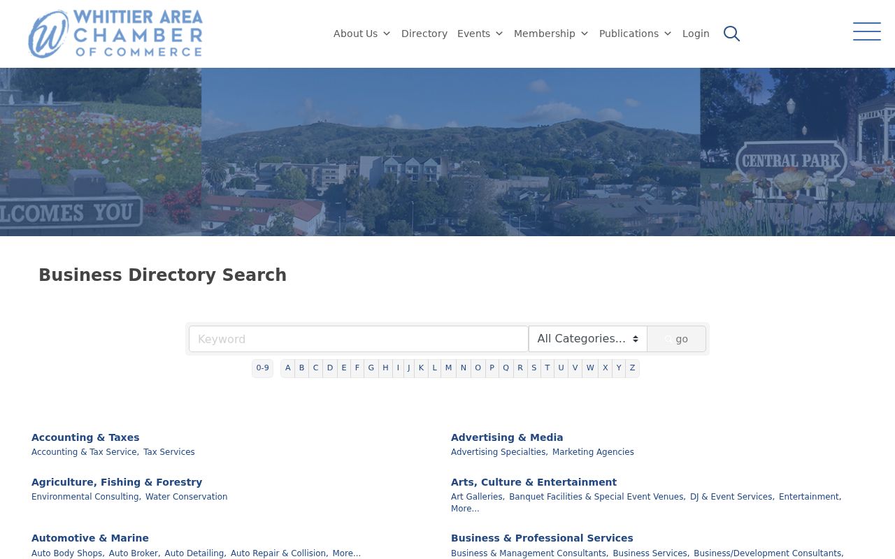
The Chamber view belongs to the business and civic layer of neighbor research, and should not be read as proof of who lives at an adjacent address.
Whittier Neighbor Sources: Official Versus Compiled
Official and compiled sources can look similar while carrying different weight. A county parcel result has an AIN and custodian. A community page has its own membership rules. A compiled tool may merge feeds, omit dates, keep stale addresses, or join people with the same name, so it is only a lead, not household evidence.
| Source type | Strongest use | Limit to keep visible |
|---|---|---|
| Assessor map and parcel record | Locate land, AIN, situs, and physical parcel facts | Owner and mailing data are withheld online; no occupant roll |
| RR/CC deed record | Confirm a recorded party, date, and legal description | Norwalk name-and-year access; not a street browse |
| Qualified voter file | Approved-purpose address and precinct research | Application required; confidential records excluded |
| Community directory | Public organization or civic contact | Membership scope is set by the group; no universal roster |
| Compiled neighbor tool | Possible lead for a lawful, careful verification | Stale, merged, incomplete, or weakly sourced data |
For Internet-enabled fraud, the FBI Internet Crime Complaint Center is the named reporting channel in the research.
The IC3 source is a reporting path for a suspected incident, not a neighbor lookup. Keeping those uses separate protects the block research from rumor.
For a business complaint, use the California Attorney General consumer complaint route rather than relying on a compiled rating or address claim.
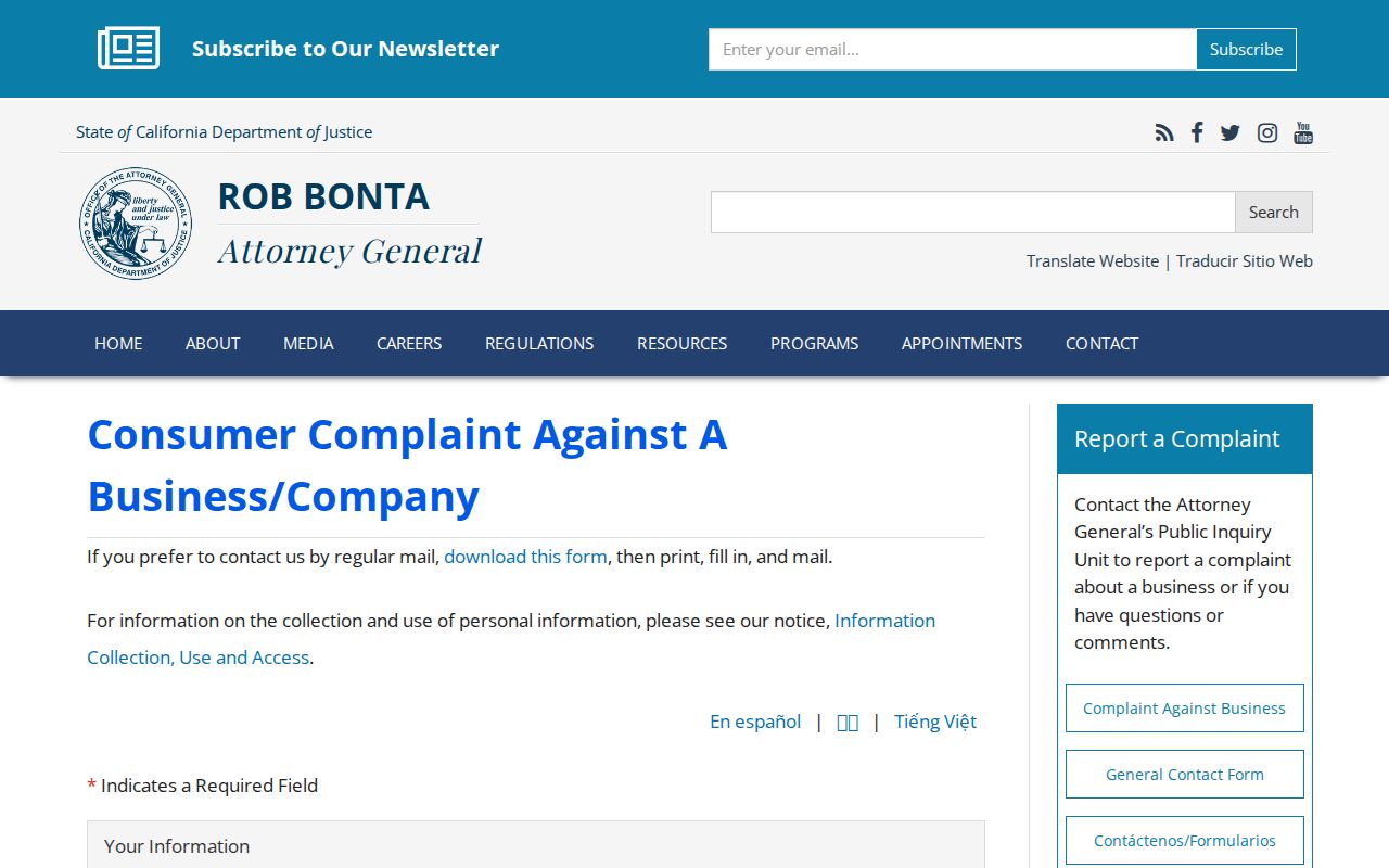
The state complaint route gives a public consumer-safety issue a named custodian and a record trail.
For a broad fraud report, the Federal Trade Commission fraud reporting form is the documented federal path.
A report should preserve the letter, message, payment demand, document number, or source address without adding more private details about a neighbor.
When a contractor's public license is the question, the California Contractors State License Board lookup supplies a dated license and classification check.
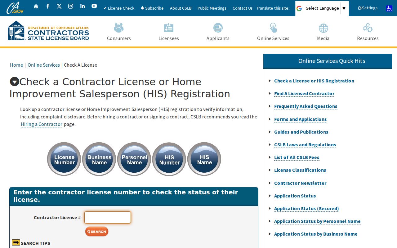
A license result can verify a public business affiliation, but it does not establish that a licensee lives at a nearby parcel.
Privacy Limits for Whittier Neighbors
Complete household membership remains outside the public block map. Other occupants, household members, utility customers, delivery customers, DMV records, and protected voters are not assembled into an open Whittier neighbors roll. The Assessor map shows parcels, not people; a mailing and situs match is only a clue, and groups may withhold member information.
California's Safe at Home program provides substitute-address and mail-forwarding protection for qualifying survivors and other eligible participants. Confidential voter records under Elections Code sections 2166 through 2166.8 are excluded from voter products. The state DROP platform can send a data-broker deletion request, but it does not seal a deed, court docket, license, city agenda, parcel assessment, or historical directory.
Public-record research is lawful when it serves a legitimate personal, family-history, property, civic, or safety purpose and stays within the custodian's rules. Do not turn a parcel trail into surveillance. California Penal Code section 646.9 addresses stalking, and Code of Civil Procedure section 527.6 addresses civil-harassment restraining orders.
Lawful use. Whittier neighbor lookups are for understanding a block, reconnecting through an appropriate public channel, checking a public business or license, and personal safety awareness. Do not use names, maps, or contact clues to stalk, harass, intimidate, or harm anyone.