
Build the Whittier Street Directory by Parcel
A Whittier street directory starts as a parcel trail, not a household roster. Put a complete situs address into the Los Angeles County Assessor Portal and save the AIN, tract or lot clue, parcel type, building era, and event document number. Use the Assessor Parcel Viewer to place the Whittier parcel on the map. Repeat polygon by polygon to catch corner lots, multi-unit sites, and skipped numbers.
Ownership and residence are separate. The Whittier web assessor record omits owner and mailing fields, and the voter tool is for a person to check their own status.
- Start with the address. Search the Whittier situs address or ten-digit AIN. Save the formatted AIN, legal-description clue, parcel status, and event document numbers.
- Resolve the owner route. Owner-name search is not offered online. Use the Whittier Assessor East District or Property Data Sales; mailing receives notices, while situs is the parcel location.
- Walk the deed chain. Search the current Whittier owner as grantee near acquisition, record the parties, date, document number, vesting, and legal description, then follow earlier grantors.
- Use voter records through the right gate. The county form requires last name, birthdate, house number, and ZIP. It cannot browse a Whittier street; a full file needs an approved purpose.
- Finish with directories. Use the pink reverse Street Guide, then the alphabetical entry, and bridge later years with Haines. These add historical clues, not a complete current household list.
Note: A matching mailing and situs address can suggest owner occupancy, but it does not prove who resides at the property.
Whittier Assessor Fields for an Address
The Los Angeles County Assessor Portal offers Basic Search, Legal Search, Map Search, and Assessor Internet. Its primary route is “Search by AIN or Address,” using a ten-digit AIN or Whittier situs address. It locates the parcel, not an online owner directory. Save the AIN for deed and tax steps.
| Field or mode | Input or control | Use in a Whittier street search |
|---|---|---|
| Search by AIN or Address | Text/autocomplete; ten-digit AIN or Whittier situs | Locates the parcel record. |
| Basic Search | Address or AIN | Standard parcel lookup. |
| Legal Search | Legal description | Tests tract and lot clues. |
| Map Search | Interactive map | Finds parcels by shape. |
| Assessor Internet | Parcel mode | Opens assessment, events, maps, and legal description. |
| Show Re-Assessable Only | Events filter | Shows reassessable entries. |
| Owner name | Not online to the general public | East District or Property Data Sales. |
Results can show a Whittier parcel’s formatted AIN, situs, use and parcel type, tax-rate area, status, exemptions, building and land measures, year built, values, lot dimensions, tract and lot, district, and map links. Owner and mailing address are redacted online.
Whittier Parcel Maps Beat Number Guessing
Street numbers do not form a perfect row in Whittier. A Whittier corner parcel, multi-unit site, or lot facing another road can defeat a house-number sweep. The viewer supports address or AIN search, parcel shapes, map links, and Pictometry context. It has no verified public buffer, radius, multi-select, or export tool, so click each surrounding polygon and record its AIN and situs.
The Los Angeles County Assessor Parcel Viewer is the visual checkpoint for a Whittier by-address search.
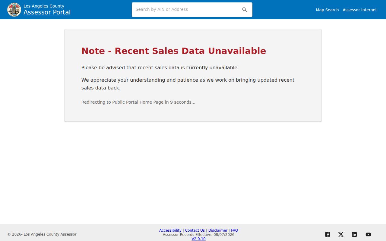
Use the Whittier parcel shape to test adjacency, then use City map layers for zoning, districts, hazards, services, streets and parking, Uptown, and water districts. They describe geography, not occupants.
Note: Parcel shape and legal description are stronger continuity clues than a guess based only on the next sequential street number.
Whittier Records Along One Street
A Whittier address search works best when each source keeps its own role. The Assessor supplies Whittier parcel data, GIS supplies shape, RR/CC supplies recorded parties by name and year, TTC supplies AIN payment history, and city files add permit evidence. The table keeps those keys apart.
| Record Set | Keeper | Address Key | Street Evidence | Access |
|---|---|---|---|---|
| Parcel and assessment | LA County Assessor | Whittier AIN / situs | Physical, value, legal, event data | Free web; owner and mailing at counter or data sale |
| Parcel map and GIS | Assessor / City | Whittier polygon / AIN | Adjacent shapes and map layers | Free map; no occupant roll |
| Recorded deed chain | LA County RR/CC | Grantor / grantee + year | Parties, recording, vesting, legal description | Norwalk index; paid copies |
| Secured tax payments | LA County TTC | AIN | Address, update time, three fiscal years | Free search and print |
| Permits and code files | Whittier City Clerk / Community Development | Street no. / name, parcel or project | Applicant, contractor, work, dates | Archive or request; scanning ongoing |
The AIN ties Whittier assessment and tax history through a number change. A deed legal description can bridge a mailing change. A permit name may be an owner, applicant, or contractor, and a voter result is personal status evidence, so no single field proves who lives in a Whittier house.
- Parcel
- A mapped tax unit identified by an Assessor Identification Number.
- Situs address
- The parcel’s physical address, distinct from its notice-mailing address.
- Plat
- A map that relates a tract, lot, parcel shape, and legal description.
- Criss-cross directory
- A directory arranged by address and name, often with telephone and occupant clues.
An AIN Links Whittier Tax History
Assessor Events History may show a Whittier recording date, sequence, reassessable flag, document number or code, reason, parcel count or percentage, verification code, transfer-tax-derived sale price, and assessed value. Those clues can shorten a Norwalk search, but they are not a deed image or occupancy proof.
The Los Angeles County Treasurer and Tax Collector payment-history search requires “Enter Assessor’s ID Number (AIN)” for a Whittier parcel, in the format 1234-567-890. Results give AIN, address, last-updated time, and three fiscal years of secured payment history, with New Search and Print controls.
The Assessor warns that a transfer-tax-derived sale figure can carry repeated leading digits at the end. Check the recorded instrument before treating it as literal consideration.
The TTC property-tax page is the source screen for this AIN step.
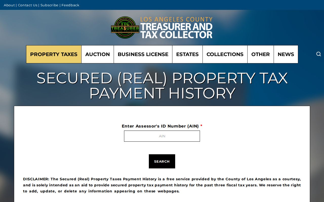
The image shows the Whittier order: identify the parcel, then use its AIN for a narrow tax check.
Whittier Permit Records by Address
Permit records add a building story, not an occupant list. Whittier’s Online Document Archive is the first stop for Whittier permits, minutes, resolutions, and ordinances. A released permit may show owner, applicant, contractor, site, parcel or project number, work, dates, and valuation. An applicant may not be the owner or resident.
The Whittier permit flow uses Street No., Street Name, Search, match selection, and autofilled Address and Parcel. Contractor lookup uses License Type Contractor and a State License Number. It is application flow, not a complete historical results portal; scanning continues in sets with no full cutoff.
- Search the Whittier archive by address and likely date span.
- If it is silent, use the Whittier SAIRA public-record form.
- Give the address, department, permit or project number, date range, and preferred format.
- City Clerk requests also go by email, mail, telephone at (562) 567-9850, or the counter at 13230 Penn Street.
Whittier states a ten-calendar-day CPRA determination period, subject to extension. Whittier paper copies are $0.15 per page and microfilm copies $0.20. Code and planning files may require Community Development at (562) 567-9320 or comdev@cityofwhittier.org.
Turn a Whittier Address Into Deed Names
Los Angeles County RR/CC records run from 1850 forward, but the public has no Internet index or image service. The index is by grantor, grantee, and recording year, not address. Search the current Whittier owner as grantee near acquisition, record the parties, date, document number, vesting, and legal description, then follow earlier grantors. Test spouse, trust, spelling, and nearby-year variants.
Norwalk, 12400 Imperial Highway, Norwalk, CA 90650, is the Whittier research stop, open weekdays 8 to 5 at (800) 201-8999 option 3. The viewing split is 1851 to 1957 downstairs and 1958 to present upstairs. Appointments may be set two weeks ahead; staff do not take telephone index searches. The official materials separately describe records from 1850 and viewing from 1851.
Beverly Hills, LAX, and Van Nuys copies reach 1982 forward, so older Whittier work belongs at Norwalk. LexisNexis online ordering is a copy request, not an index. Mail requests go to Real Estate Records, PO Box 1130, Norwalk, CA 90651-1130, with title, parties, years, and payment. Fax is (562) 864-1250 with delivery, phone, and card details. Plain copies cost $5 first page plus $3 each added; certified copies cost $6 plus $3 each added. Complete documents are supplied.
The RR/CC real-estate-records request page shows the copy-order path after the name-and-year index work is complete.
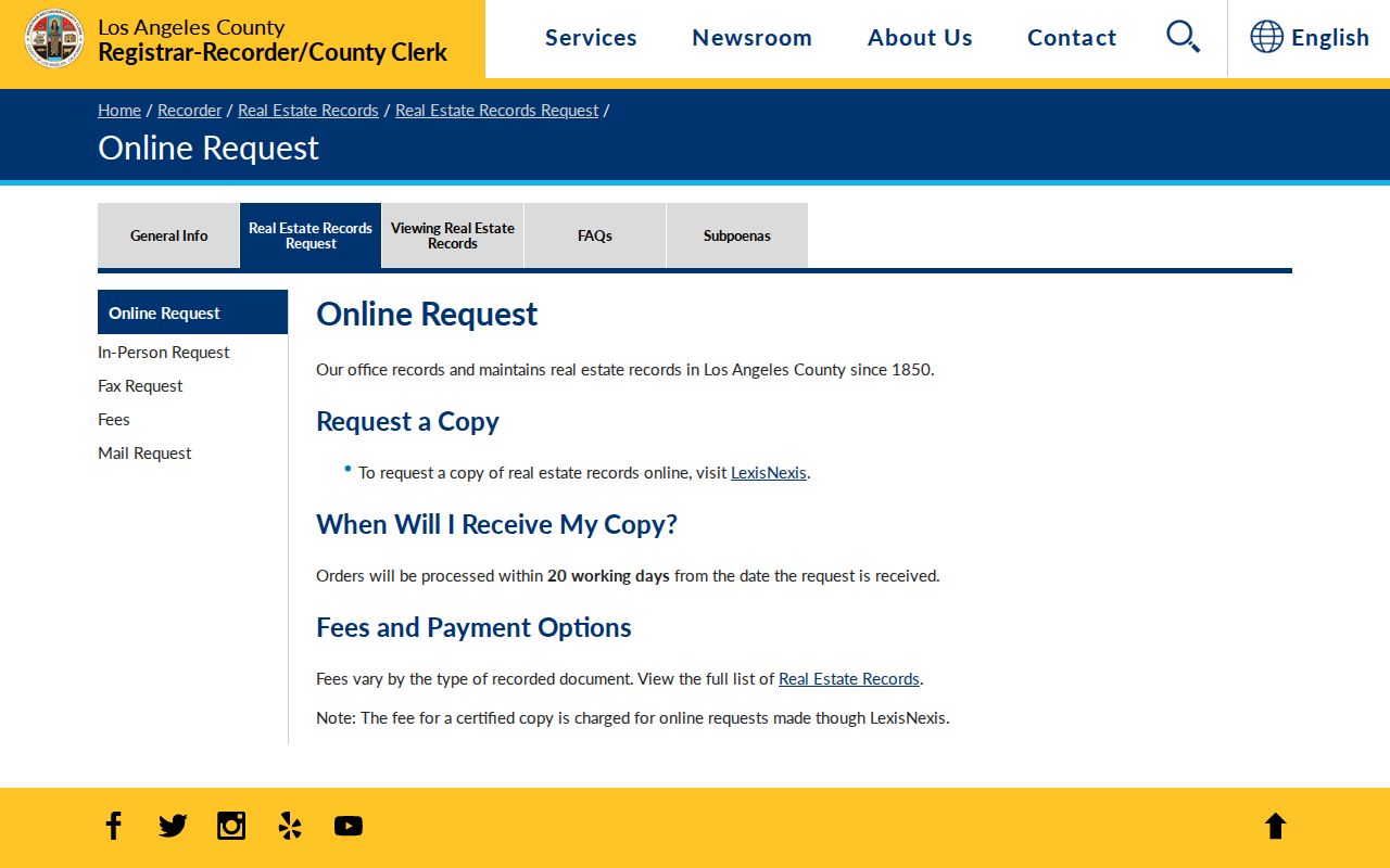
This route turns a Whittier parcel trail into named instruments. It remains title evidence, not a household list.
Read Whittier Streets in the Pink Guide
Whittier’s historical shelf fills gaps that parcel records cannot. City directories run 1903 to 1977 with gaps, and the reverse Street Guide begins in 1920 to 1921. In the Whittier Public Library History Room, open the pink guide by address, read the full street segment, then use the alphabetical entry for name, spouse, occupation, and residence. This is useful when an old Whittier number does not match today’s.
The History Room is in the Central Library mezzanine at 7344 Washington Avenue, Whittier, CA 90602, (562) 567-9900, historyroom@whittierlibrary.org. Ask at Information; volumes are available until one hour before closing, with identification left during use. Confined items, yearbooks, and research help need an appointment. Collection runs are listed on the Whittier city directory page.
For 1903 to 1919, start alphabetically or use indexed Whittier tax ledgers when the parcel owner is known. The 1903 and 1911 volumes were digitized, but migration currently limits the old system to library computers; physical volumes remain in-library.
Haines Extends the Whittier Street Directory
Haines Criss-Cross volumes extend the Whittier address method from 1972 to the present with name, address, and telephone arrangements. Coverage changed from 35 to 37 East Suburban communities in 1972 to 1986 editions, to 20 to 24 East San Gabriel Valley areas later. Check each edition before treating a missing Whittier entry as meaningful.
The library also holds 57 Whittier telephone volumes from 1904 to 1948 and conventional phone books from 1968 to 2015. They reach beyond incorporated Whittier, and only subscribers appear. A missing Whittier name may reflect no telephone, another subscriber, or a different exchange. Use address, name form, and year together.
Note: Historical directories can fill years between census snapshots, but publication timing and subscriber limits make each entry dated evidence.
Bridge Whittier Addresses Across 1966
Whittier changed every city street number to the Los Angeles County system in 1966. Before then, north and south directions could produce forms such as 102 N Greenleaf and 102 S Greenleaf. A search by number alone can miss an older Whittier directory, ledger, newspaper, or permit.
Keep the old direction, test abbreviated and spelled forms, and write old and new numbers beside the AIN. The library’s Whittier Street Number Changes guide is the first bridge. A deed legal description, tract and lot, or AIN is stronger than street text. This also matters after the 1961 annexation, when postal coverage could exceed the incorporated city.
Whittier Street Addresses and ZIP Labels
ZIP codes route mail, not boundaries. Verify mailing through the USPS address-to-ZIP lookup, then verify jurisdiction through City GIS or the Assessor. ZIPs 90601, 90604, 90605, and 90606 cross Whittier, nearby unincorporated areas, and other cities. ZIP 90602 is mainly central and Uptown Whittier; 90603 serves eastern Whittier and the Whittwood or Friendly Hills area.
ZIPs 90607 through 90610 carry PO-box or other non-geographic context and need current USPS verification. Census ZCTA slivers of 90631, 90670, or 91733 are statistical intersections, not extra Whittier ZIPs. A tax mailing address can use another ZIP or state while situs stays Whittier, so postal city must not replace the parcel record.
What the Whittier Street Directory Cannot Show
A Whittier street directory cannot show every person tied to an address. DMV and utility data are not open street sources. The online deed index does not exist, Assessor owner and mailing fields are withheld, and protected voters are excluded from approved files. A matching mailing or situs address can suggest owner occupancy, never prove a current household. Each Whittier permit, directory, or tax record has its own date and purpose.
The Los Angeles County voter status form is self-verification. It requires Last Name, Birthdate in MM/DD/YYYY, House Number using numbers only, and Zip Code using numbers only. All four are required. It cannot browse a Whittier street or search a name alone. A broader voter file application states the applicant, organization, beneficiary, purpose, scope, selected files, delivery, documents, and legal declarations. Elections Code sections 2188 and 2194 limit approved purposes, and confidential Whittier voters are excluded.
Lawful use. Whittier address records can support personal research, house history, genealogy, property curiosity, and reconnecting with a known person. Do not use Whittier names or addresses to stalk, harass, intimidate, or harm anyone, and respect every confidentiality and access limit.